Mt Victoria or Nat Ma Taung
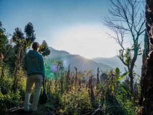
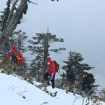
To reach the summit you can trek through the little-visited and beautiful Nat Ma Taung National Park or choose recently improved road leading to the base of the summit road. The last 3km are usually done on foot but 4WD vehicles can make it all the way to the summit on a jeep trail. On the top you will find a small pagoda and popular picnic place for locals. The journey to the summit is more impressive than the broad summit itself.
Topography and nature of Chin State
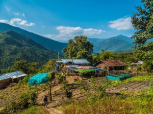
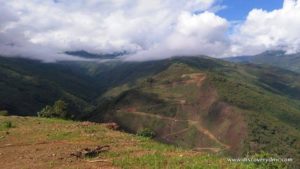
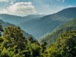
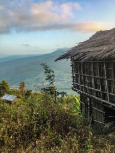
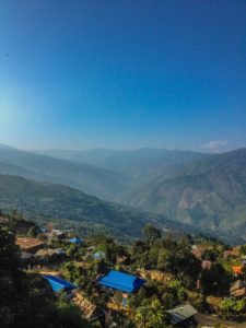
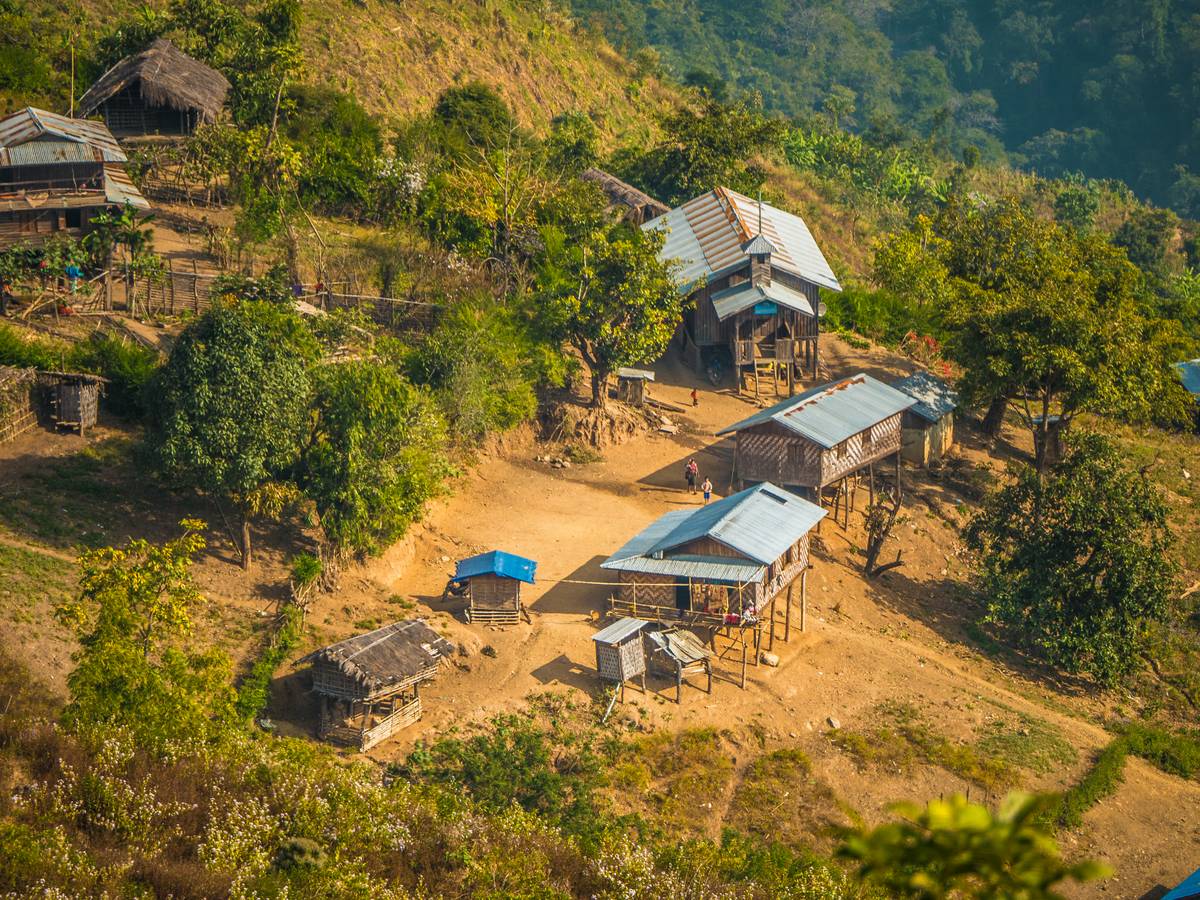
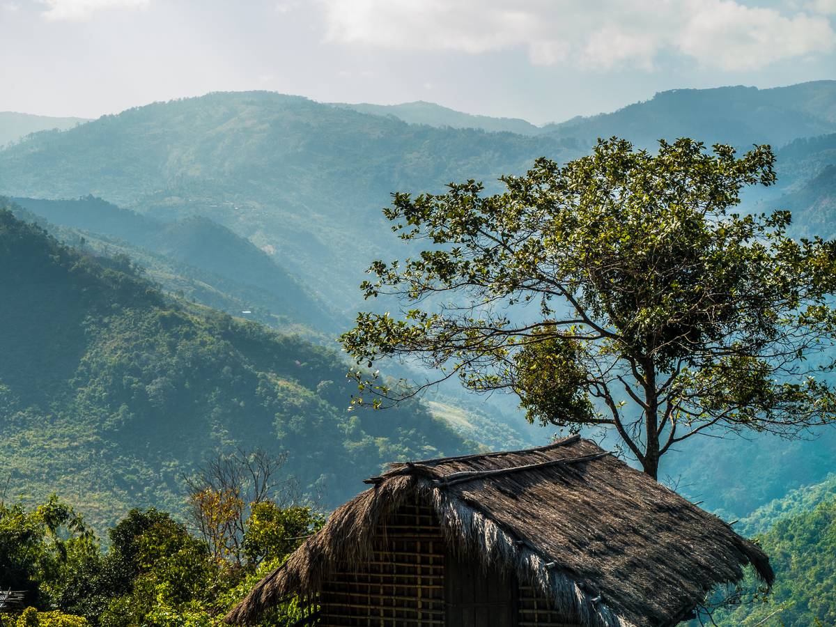
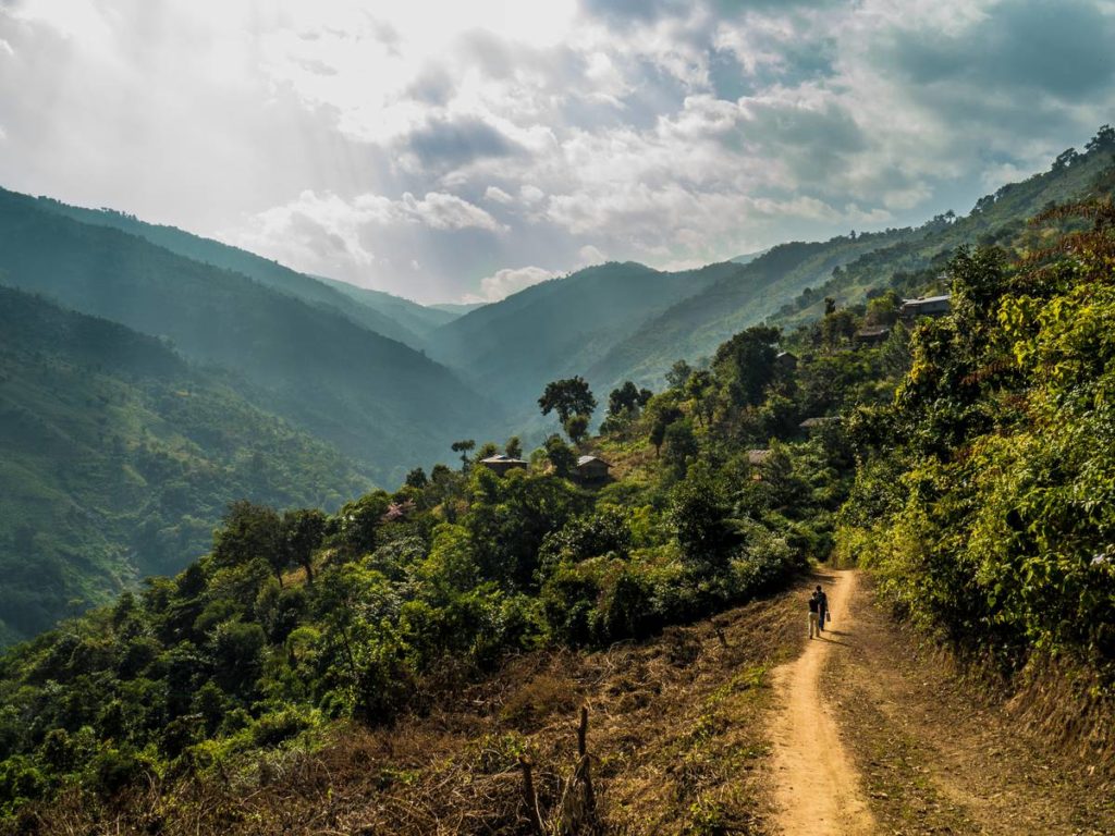
As soon as you enter Chin State from the dry zone of Magwe and Sagaing Division green Chin mountain ranges will catch your eye. The mountainous hills are covered with evergreen forests and hill savannah. There are many natural watercourses flowing from the mountains forming number of valleys and gorges. The tallest waterfall in Chin State is Bungtla Waterfall near Matupi. Matupi remains very remote destination. Special region permit from Naypyitaw is still required by local authorities here. Reserve 3-days for this adventurous overland trip from Mindat.
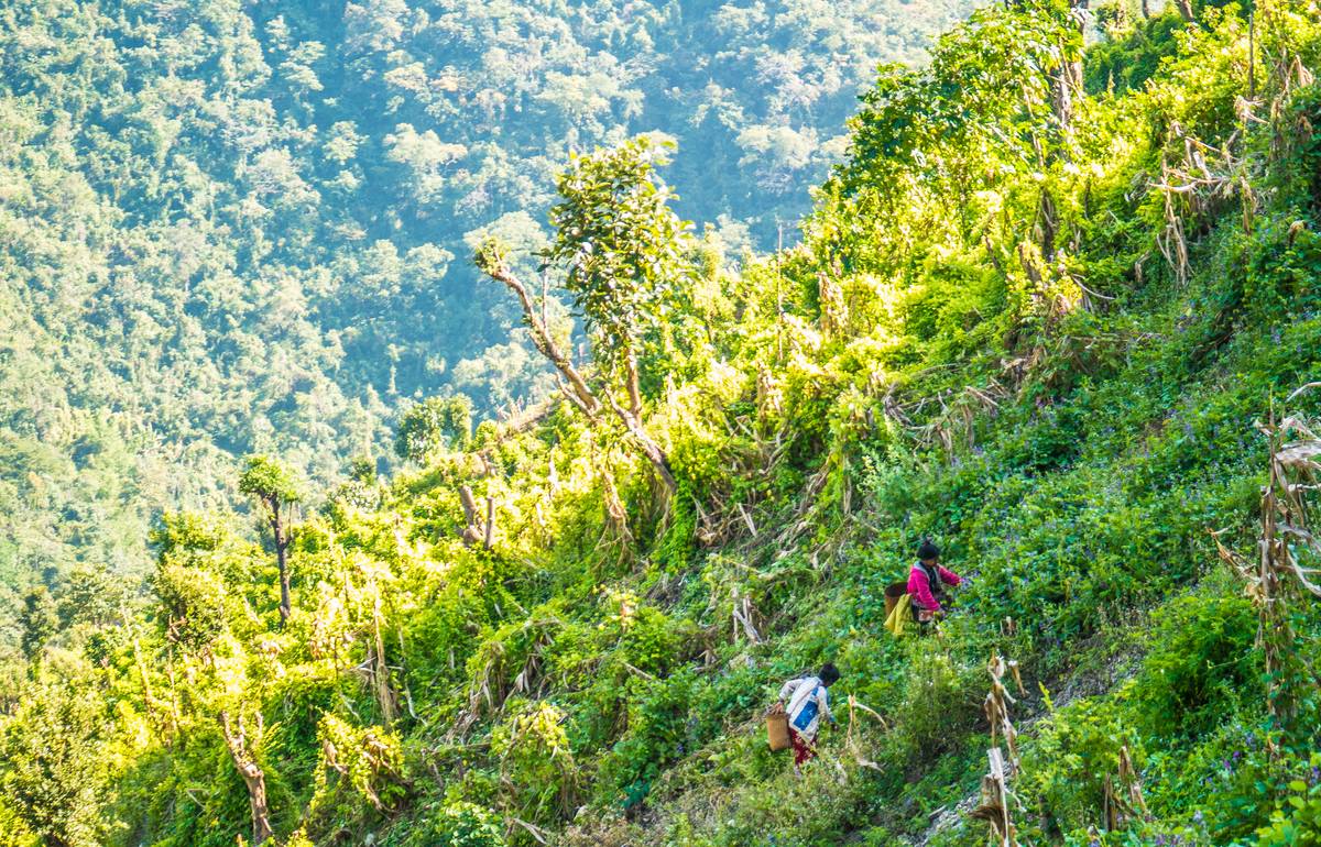
Nat Ma Taung National Park and Mt. Victoria are rich with flora and fauna with some 159 different bird species. There are also mammals such as wild boar, leopard, gibbon etc. The area has been protected nature park since 1994 which has helped it to sustain its beautiful and lush nature. You can see tropical and subtropical forests and higher altitudes are covered with many temperate and alpine species.
 Chin Peoples
People in Chin state can be divided to six main groups: the Asho, Laimi, Mizo, Cho, Khumi, and Zomi with more than dozen sub-groups.
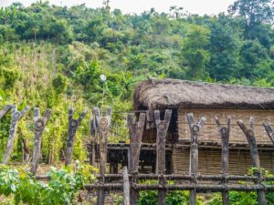
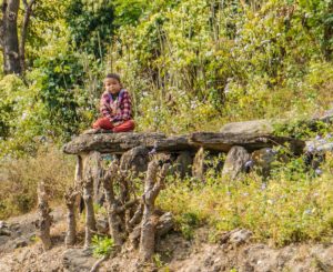
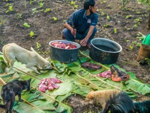
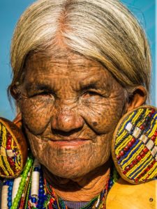
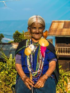
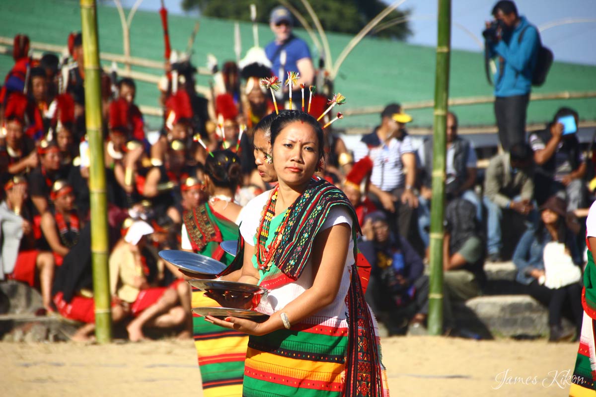
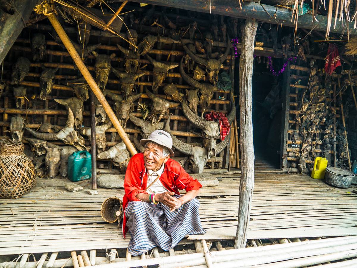
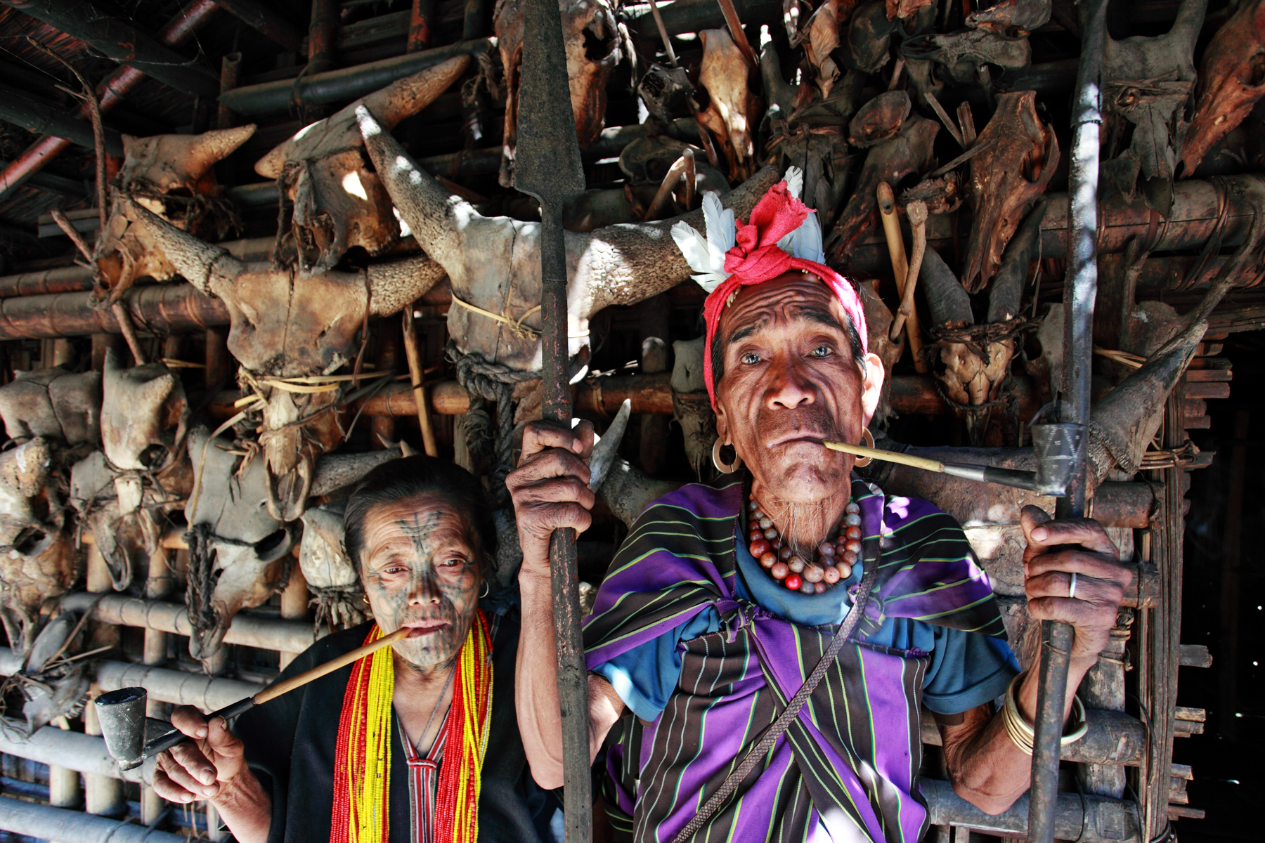
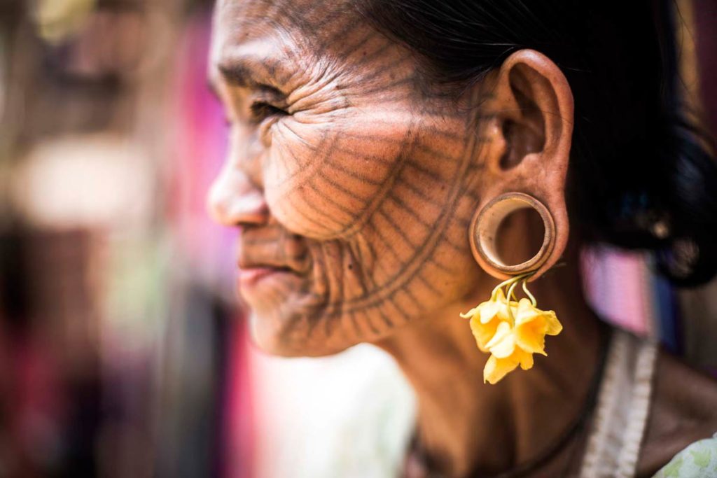
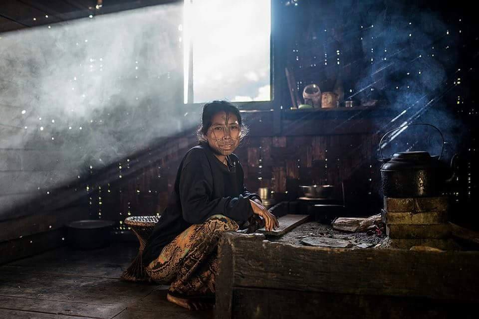
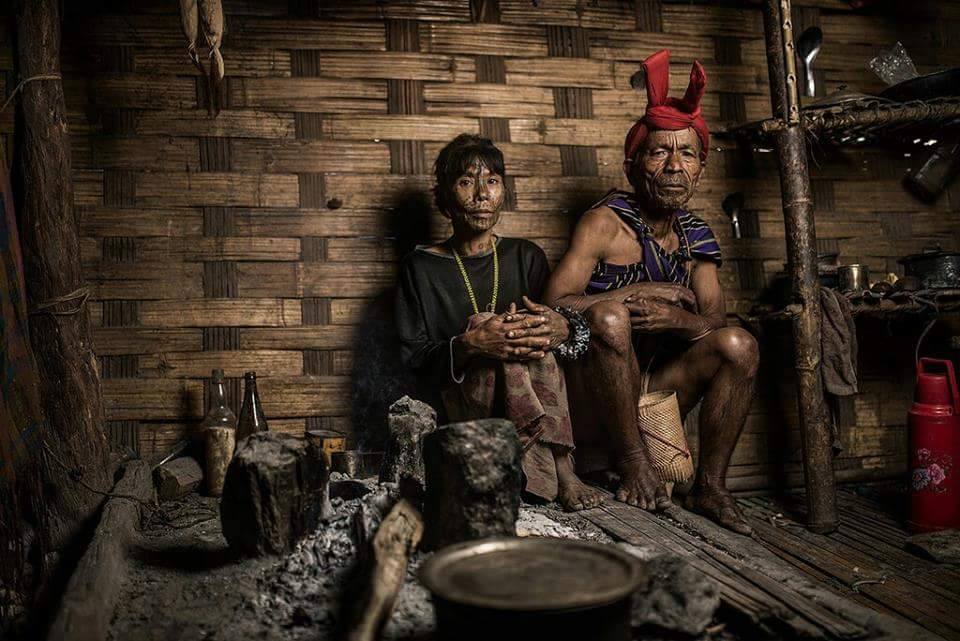
The Chin groups share similar history but speak different languages and dialects and have different cultural identities. Regions near Nat Ma Taung / Mt Victoria are inhabited by Dai, Upu and Ya tribes known for their ladies facial tattoos.
The practice has been forbidden by the military government so you will rarely see tattoos on younger women. Estimated 80% of Chin people are Christians, but many tribes still follow animistic believes and traditions.
 What to do in Chin State?
Chin State is is perfect for trekking and hiking holidays and adventure tours as well as for photography. We will introduce some new mountain biking tours in 2017. You can either book private journey or enquire us well in advance if there are any join in tours running.
For those who are not keen trekkers can travel to many of the villages on the back of a motorcycle.
Climate in Chin State
Weather in Chin State varies greatly. In general the green season when showers are frequent is during summer months July, August and September. October/ November to February is Myanmar winter when skies are clear and it rarely rains. Night temperatures may fall to zero up the mountain and in Kanpetlet and Mindat to around 5c.
The Mt Victoria summit at 3000m does not get snow during winter months as the weather is usually always sunny. The day temperatures are between 15-20c during the day.
March, April and May are the hottest months when nature get dry. In some regions this is when wild orchids flower. So Chin hills can be visited any time of the year. During the green season nature gets lush and vibrant again and waterfalls emerge and paddy fields can be cultivated.
How to get there?
The roads to southern Chin State have improved greatly during the last couple years. So if your guide tells that it takes 8hrs to drive to Kanpetlet or Mindat that is old information. If you attempt going to either with own wheels make sure you will bring enough food and water. There are very few rest stops along the roads when traveling through Magway Division dry zone.
Best way to get to Kanpetlet and Mt Victoria / Natma Taung peak is from Bagan by car via Chauk and Saw towns.
Best way to get to Mindat is by driving via Pakokku. Budget travelers can get a bus or shared taxi to Pakokku and catch bus to Mindat. Private car is of course fastest and most comfortable way.
 Where to stay – accommodation in Chin State
Guest Houses and Hotels in Mindat
Don’t expect to find luxuries here but there are some simple hotels with en-suite bathrooms and warm shower to provide you enough comforts.
Best hotels in Mindat:
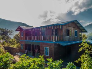
Mindat Hotel – opened in 2016. Best hotel in Mindat. Located bit outside of town along the main road. Mindat Hotel is simple but clean new tourist hotel. Rooms are located in large main building with mountain views.
Mountain Oasis – previous top choice. Private bungalows and row house rooms. Located outside Mindat town along main road leading to Mindat. When we visited for inspection, only bucket showers were available and maintenance could have been better.
Mindat town has a few family run guest houses. The family usually has 1-2 own rooms and rents out the rest to tourists.
 Best hotels in Kanpetlet
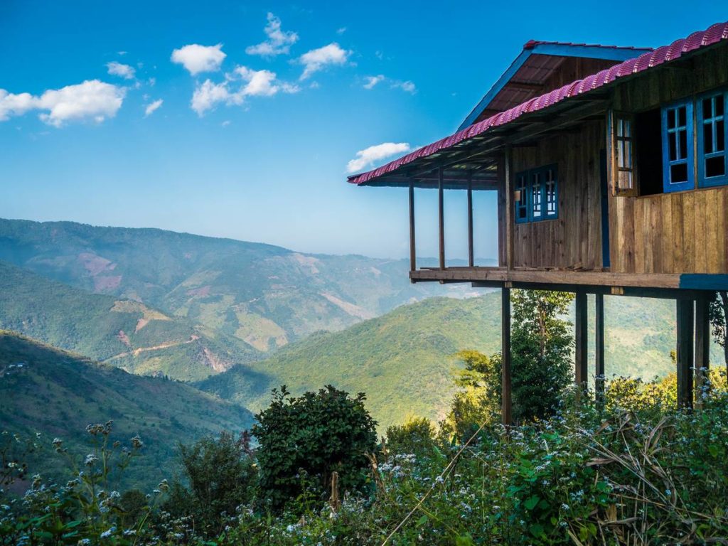
Sky Palace Resort – opened in 2015. This is hotel is still among best in Chin State. All rooms are located in bungalow buildings of which half have mountain valley views. The resort is located 15min up the mountain from Kanpetlet along the road to Mt Victoria.
Floral Breeze – latest mountain resort iin Kanpetlet with great mountain valley views. Floral Breeze is the second mid-range international standard hotel in Chin state.
Pine Hill – Wooden cottages perched on hillside some offering valley views. Located along road to Mt Victoria 15min drive above Kanpetlet town.
Mountain Oasis – Old and very basic mountain huts. Dining room and fire place in main building.
 Practical information
Internet: there is internet cafe in Mindat open in the evenings. Since 2016 mobile internet has been available which is much better and you can use it anywhere.
Same applies to Kanpetlet, though if you stay in resorts up the mountain be prepared to not to have mobile or internet access at all.
Money and Banks: Bring enough kyats cash.
When traveling to these remote destinations you will most likely not find any working ATM’s if there are any. Even changing USD to Kyats can be a mission, so make sure are well prepared.
Things change all the time in Myanmar and particularly in Chin State. There are new roads connecting to many villages that barely had any access apart from foot paths previously.

